
Geoscience Australia has unveiled its updated National Seismic Hazard Assessment (NSHA), the first revision since 2018.
The report identified elevated seismic risks in areas such as Darwin and parts of the eastern highlands, including Victoria's Latrobe Valley, based on improved data and enhanced modelling techniques.
The NSHA evaluates earthquake ground shaking probabilities across Australia, providing critical insights for emergency planners, policymakers, and engineers. This information is designed to assist in preparing for and mitigating the potential effects of seismic events.
Dr Trevor Allen, a senior seismologist at Geoscience Australia, said that the latest findings reflect a more detailed understanding of earthquake behaviour in Australia. The update incorporates new data from field surveys, earthquake catalogues, and eyewitness accounts.
“We have a large body of information that helps us understand the physical characteristics of earthquakes in Australia and how they impact the landscape around us,” he said.
He emphasised that the updated hazard assessment does not indicate a sudden increase in earthquake activity or strength. Instead, it reflects advances in risk assessment and seismic data interpretation.
“What has changed is how we understand and interpret the risk of earthquakes occurring and their consequent ground motions. The new assessment simply clarifies and improves our understanding of the risks that can be associated with this hazard,” Allen said.
The updated assessment highlighted Darwin as an area of higher seismic hazard than previously understood. Allen attributed this to new findings about how seismic energy from Banda Sea earthquakes travels efficiently to northern Australia.
“The shaking energy from Banda Sea earthquakes travels much more efficiently to Northern Australia than it does to other places, even places that are much closer to the epicentre,” Allen said.
In Victoria, recent seismic activity in the high country has also influenced hazard calculations. Allen said the assessment incorporates data from recent earthquakes, leading to a slight increase in the seismic risk level for the region.
“Each earthquake is unique and provides us with more information that can be used to understand the likelihood and physical consequences of earthquakes in Australia. This information is then used to improve the accuracy of models and algorithms that underpin our hazard calculations,” Allen said.
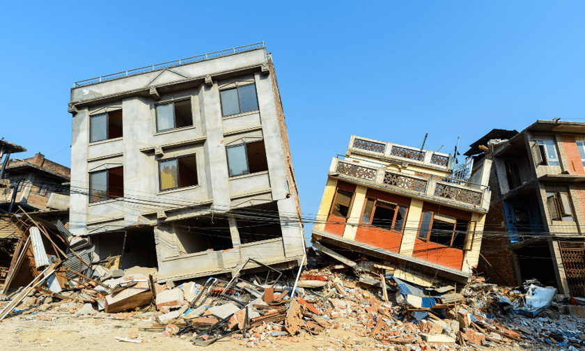
Australia’s overall seismic risk remains lower than neighbouring countries such as Indonesia and New Zealand, but a significant proportion of its older buildings remain vulnerable to damage from ground shaking. Many unreinforced masonry structures built before the introduction of modern earthquake standards could suffer extensive damage during a seismic event.
To address this risk, Geoscience Australia has released new guidelines on retrofitting older buildings to make them more resistant to earthquakes. These resources aim to help communities and property owners strengthen older structures and reduce potential losses.
