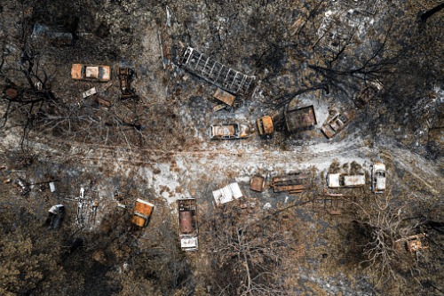

National parks account for 90% of the destruction caused by the unprecedented Australian fires, causing major losses to ecology and wildlife.
The finding was based on the latest satellite imagery analysis of almost 500,000km2 in the eastern part of New South Wales and Victoria from Mckenzie Intelligence Services (MIS), which provides intelligence processing and data and information collection services for the global re/insurance industry.
The analysis also revealed that urban and residential areas accounted for 8% and 2% of bushfire damage, respectively.
“The extent of these fires and the collateral loss is unprecedented and deeply unsettling,” said Forbes McKenzie, MIS chief executive. “It is therefore important to be able to assess the area as quickly as possible and learn what the potential damage is to better inform all response efforts. MIS is actively working with Lloyd’s of London and looking to assist NGOs, charities, and local authorities in order to assist victims whose homes and communities have been destroyed.”
