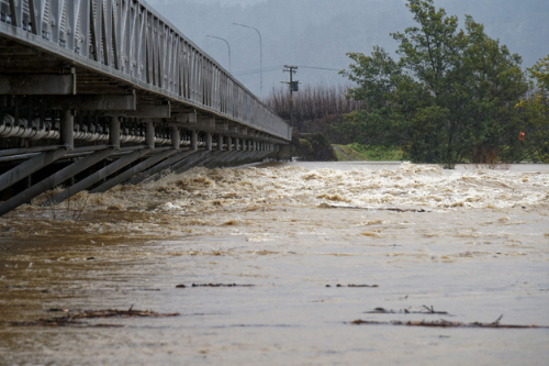

Growing flood risk will be the main driver for New Zealanders to make changes to adapt to rising sea levels due to climate change, according to a study by the National Institute of Water and Atmospheric Research (NIWA).
“Rising seas are slowly causing a trifecta of impacts along coastlines in Aotearoa: increasingly frequent flooding, coastal erosion and even permanent inundation,” said Scott Stephens, NIWA chief scientist for coasts and estuaries. “Our research shows that it’s the first of these three impacts – increasing flood risk – that’s likely to be the main driver of adaptation efforts by coastal communities, and this tipping point is likely to be reached within two to three decades – sooner than many of us expect.”
The study was conducted in Tauranga, after local councils commissioned NIWA and Tonkin & Taylor for coastal modelling. The findings were published in the Journal of Marine Science and Engineering. According to Stephens, the findings are likely applicable across New Zealand.
"There are a number of properties around Tauranga Harbour that are built high on coastal cliffs, and for these people, erosion is the number-one concern,” Stephens said. “But far more properties are built in places that currently experience coastal flooding, or soon will. This might currently only happen once every hundred years on average, but with rising seas it could increase to at least a five-yearly event within just two to three decades.”
NIWA defined coastal flooding as flooding of the land by the sea rather than rainfall or rivers. It can occur during very high tides and is often exacerbated by storm surges – when low atmospheric pressure and strong winds drive the sea over land, resulting in very high storm tides.
Some measures to adapt to coastal flooding are building seawalls or other similar structures, but Stephens said these might not be the best solutions for the long term.
Property owners may move away from coastal areas because of difficulty to secure insurance or mortgage for the properties, as well as due to policy changes restricting seaside properties.
The researchers compared static and dynamic models in terms of impacts and timeframes for coastal flooding, erosion and inundation. Dynamic models use detailed hydrodynamic models to simulate the overland flow of water in a physically realistic way. On the other hand, static models are simpler and use the “bathtub” method, which assesses a place’s flooding probability based on their elevation alone.
The researchers found that the static model underestimated land and building exposure by up to 2.3 times than the dynamic model.
“This is compelling evidence for using dynamic models to support adaptation planning,” Stephens said.
