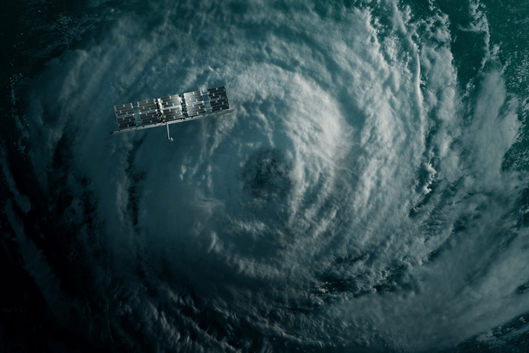

IMAGE CREDIT: ICEYE
Satellite technology and Earth observation data are poised to play a significant role in building resilience in an increasingly volatile and unpredictable world.
More insurers and governments are tapping real-time satellite imaging capabilities not just to measure and predict risks amid natural catastrophes, but also to make data-driven decisions about disaster response and rebuilding resiliently, according to Rafal Modrzewski (pictured below), CEO and co-founder of ICEYE.
“Earth observation data can enhance every phase of insurers’ and emergency management organizations’ response,” he told Insurance Business.
Last month, Modrzewski delivered a message about satellite technology’s advancements and its use for climate resilience at the World Economic Forum in Davos.
Satellite imaging advancements are poised to radically change several industries that require trustworthy data to support decision-making, according to the CEO.
“Possibilities include improved management of carbon sequestration, initiatives for ocean cleaning, and the development of fully autonomous shipping systems,” Modrzewski said.
“Groundbreaking innovation in this space will help address the complexities of these challenges and build global resilience faster and more accurately than ever before.”

According to Modrzewski, there are two key aspects to satellite technology: the granularity of data available and the speed at which it can be accessed. Synthetic aperture radar (SAR) satellite imagery provides detailed images of floods and wildfires as they develop.
SAR satellite technology is a game-changer because its advancements enable us to track changes and patterns on the planet, empowering decision-makers to predict the activities of natural disasters into the future.
“These insights are invaluable for governments and insurance companies to respond rapidly and accurately with hazard data that consistently closes the gap,” he said.
ICEYE has been instrumental in several public-private partnership projects for flood and wildfire resilience around the world. Modrzewski called on leaders at Davos to speed up private-public collaboration to address the accelerating impacts of climate change and plug gaps in protection.
Rapidly intensifying weather events and other global challenges have put humanity on the verge of a fundamental change, he argued, demanding stronger partnerships between the private and public sectors.
“The collective actions that individuals, organizations, and global leaders take together can help move the needle toward reducing global risks and making the transition successful,” Modrzewski said.
In February 2023, ICEYE teamed up with insurer Swiss Re Corporate Solutions, broker Guy Carpenter, and New York City government agencies to launch a landmark parametric flood insurance pilot. The first-of-its-kind parametric program provides up to $1.1 million in immediate flood relief to low-income households in the city.
The data technology firm is also involved in a similar effort in Nigeria, where several players – including AXA Climate, Swiss Re, and others – are seeking to provide insurance and financial resilience to Lagos.
“At ICEYE, we operate over 30 SAR satellites orbiting Earth, capturing images day or night, and, more importantly, given the perils, through darkness, smoke, and clouds,” Modrzewski said.
“Owning the largest SAR satellite constellation matters because it influences the revisit rate with which we can monitor any given location on Earth.”
Finally, Modrzewski addressed the importance of timely and accurate data before, during and after major catastrophes like floods or wildfires.
More and more insurers are deploying parametric insurance and other alternative solutions to help cover risks that traditional property and casualty policies can’t. But Modrzewski said the gap in data has previously hindered the effectiveness of parametric insurance, which relies on prompt and efficient coverage for at-risk communities.
“Parametric insurance solutions depend heavily on data, with specific thresholds set as triggers for immediate payouts following a disaster,” he said.
“Data acquisition accuracy, consistency, and speed are vital for these triggers. Rapid and reliable data delivery is crucial for realizing the full potential of parametric insurance.”
What are your thoughts on satellite imaging and similar technologies as tools for building climate resilience?
