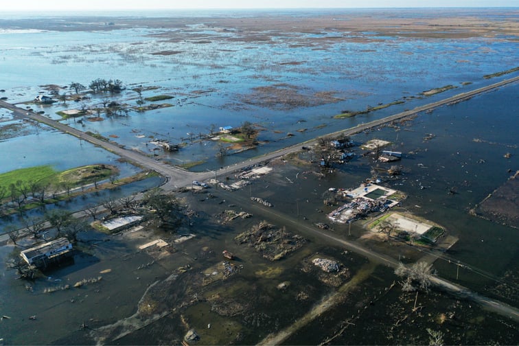

A new study by the University of Waterloo has looked into the potential flood risk faced by Indigenous communities in Canada – and the results are not encouraging.
The study identified 40 flooding risk hot spots among the 360 Indigenous reserves observed. Notably, the province with the highest number of spots was BC with 13, followed by Ontario with 10.
The top five flood risk hot spots identified by the study are the Shamattawa First Nation reserve in northern Manitoba, Pigeon Lake reserve 138A (which is shared by four nations) in Alberta, the Whycocomagh reserve in Nova Scotia, the Ekuanitshit-Mingan Innu reserve in northern Quebec and the Cowichan Tribes reserves on Vancouver Island, BC.
A high number of the Indigenous communities are in danger of flood, the report found. Some 81% of the 985 Indigenous land reserves in Canada are at risk of flooding, with both people and residential properties in those areas vulnerable to water damage, The Canadian Press reported, citing the university study.
According to Jason Thistlethwaite, co-author of the study, flood risk expert and associate professor at the University of Waterloo, the study not only evaluates flood likelihood and the potential damage that could be sustained by property and infrastructure, it also factors in a community’s “social vulnerability” – its capacity to prepare for, respond to, and recover from a flood. Using social vulnerability measurements, Thistlethwaite said, better determines where the highest risk areas are and where people will be most affected by flooding.
It was also noted by the report that while the flood threat to residential property is the same for both Indigenous and non-Indigenous communities, the overall risk is still higher for Indigenous communities due to social and/or environmental inequities.
“Governments have a responsibility to increase investment in those (Indigenous) communities to try to limit the exposure and decrease the vulnerability of those populations to flooding and other climate risks.”
