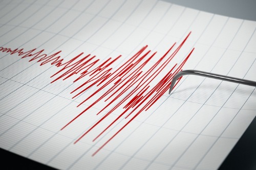

On Wednesday, a 4.8 magnitude earthquake was detected off the coast of Vancouver Island.
The quake was detected around 12:20pm, Earthquakes Canada revealed. The tremors were centered about 215km west of Port Hardy, on the northern tip of the island. The agency added that the tremors occurred at a depth of about 10km.
No damage has been reported due to the quake, Earthquakes Canada noted, and a tsunami is not expected.
CTV News reported that the latest tremor comes two weeks after a spate of seismic activity in the same region. Over a three-day period, nine total quakes were reported – including two incidents that erupted off the northwest coast of Vancouver Island on Christmas Day.
A researcher with the University of British Columbia warned in September that a major fault line located 50km off the coast of Vancouver could cause a 6.0 magnitude earthquake. The researcher came to this conclusion after analyzing 30 years of seismic data,
Natural Resources Canada cautioned that an earthquake with a magnitude between 6.1 and 6.9 can damage poorly constructed buildings, as well as structures located about 100 km from the epicenter.
