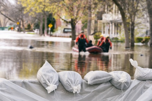

New flood maps have demonstrated that low-lying areas of some of Canada’s major cities could become flooded within the next 80 years.
The new maps were created by Slobodan Simonovic, an engineering professor emeritus and flood control expert at Western University. They combine some 150,000 reference documents such as current and historical rainfall and snowmelt data, topographic analyses, and climate projections.
“[This] was the continuation of our interest in understanding better what are the impacts of climate change on natural disasters in general,” Simonovic told CTV News. “My part of the project was to look at how flooding will be affected by climate change.”
Simonovic pointed out that based on the maps, the areas that would be most affected by future flooding include parts of Montreal and Vancouver.
“Across Canada, we are tracing and seeing a lot of locations that may be affected in the future a little bit more,” said Simonovic. “Examples [include] Vancouver with the Fraser River, the lower Mackenzie [River] of Northwest Territories, [and] the Assiniboine and Red rivers in Manitoba,” the flood expert said.
“They are all showing under the changing climates much higher levels of flood risk.”
It has been estimated that about four million Canadians are currently living in areas that have been affected by flooding. The maps project that even more Canadians will be at increased risk of flooding in the years to come.
The impact of climate change is the primary driver of flood risk, Simonovic explained.
“Precipitation is the main source of the moisture or water, and then there’s conditions on the ground – that means land use and where the rainfall is occurring – and then there’s the previous and current measures that are in place to deal with the distribution of the moisture and so on,” he said.
“All of these factors are, in a way, affected by our activities and climate change is definitely one of the most significant because it determines the amount of precipitation that we receive.”
