
Canada’s private and public sectors are contributing to a massive project: accurately mapping flood risk across the country.
Under the National Adaptation Strategy, the federal government is investing $164.2 million between 2024 and 2028 in flood hazard mapping initiatives to help Canadians better plan and prepare for future floods.
As of October 15, more than 250 active projects are underway. The maps aim to support decision-making around land use planning, flood mitigation, adaptation to a changing climate, resilience building, and protection of lives and properties, according to Natural Resources Canada.
At the same time, Canada’s insurance companies are lending valuable resources and expertise to hasten this initiative. In August, a Swiss Re intelligence firm called Fathom and Aon’s catastrophe modelling developer were tapped to provide flood hazard datasets to illustrate flood extents and depths across various return periods, flood-generating mechanisms, and climate change scenarios.
While efforts are underway to address the need for accurate flood risk data, significant hurdles remain. In the meantime, the challenges are having substantial impacts on Canadian insureds.
“The lack of comprehensive flood mapping throughout Canada is a significant limitation on the ability to assess flood risks effectively,” said Steven Sanders (pictured below), strategic account manager at ICEYE, a satellite company providing Earth observation data and remote sensing capabilities to the insurance industry.
“We are seeing many instances where regions described as being exposed to a 1-in-100-year flood event are experiencing multiple flood-related incidents in a matter of years. Yet, based on the existing data, the perception is that these territories are at relatively low exposure.”

The misalignment in data can have devastating impacts on Canadian insureds. Sanders shared an example of a Quebec resident who bought a property that had previously been in a destructive flood.
“They were under the understanding that the flood event was a 1-in-100-year event and so thought they wouldn't have a flood risk of that nature again in their lifetime,” Sanders said. “Unfortunately, five years later, another flood with water levels two feet higher than the previous event hit and caused major damage.”
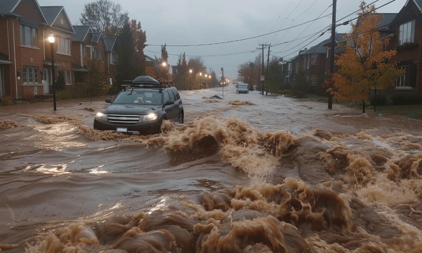
The devastation from recent events, such as in the Greater Toronto Area earlier this year, have highlighted the destructive potential of floods and underscored the need for a comprehensive approach to managing flood risk. The factors behind this increase in flood events are complex, but they include three major elements:
Effective flood management relies on accurate floodplain mapping, yet many of Canada’s flood maps are outdated, some having not been revised since the 1970s. And where maps do exist, they are not always easy for the public to access or understand, said Sanders.
Disclosure is another factor compounding challenges to flood risk data. The Canadian Climate Institute has called for timely, complete and accessible property information disclosure from owners and landlords to support risk mitigation efforts.
“Inconsistencies can result in the inability of buyers to make educated decisions about the risks, including the flood risk,” the Institute said, noting landlords in Canada are not currently required to disclose hazard or risk information about their properties during rental transactions.
Technology is also an increasingly important tool for flood risk mapping. Synthetic Aperture Radar (SAR) satellites, such as those used by ICEYE, can provide higher-resolution images of the extent and depth of flood waters.
“Having images of where previous flood waters have been can provide a powerful tool for educating the public on the actual risk of flooding in those areas,” said Sanders. “Combined with the knowledge that new areas are flooding due to increased frequency and severity of storms and new infrastructure changing drainage and runoff patterns, this would help elevate the market’s overall understanding of the risk and the importance of flood coverage.”
Access to more accurate and higher-resolution data is crucial to pricing risks more accurately, and ultimately making flood insurance more affordable in the future.
“Having more detailed and accessible flood insights will provide insurers with a more robust means of communicating the need for and importance of flood cover,” said Sanders.
Do you have something to say about flood risk mapping in Canada? Please share your comments below.
