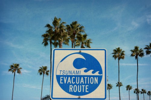

It’s tsunami hīkoi week and scientists and researchers are urging Napier communities to practise their tsunami hīkoi and record their routes and times on a free app.
According to GNS Science, the idea is for people to help improve tsunami evacuation planning in their area. The results will be added to computer-based tsunami evacuation models of Westshore, Ahuriri, Pandora, Napier South, Maraenui, Te Awa and Marewa. These areas were developed by scientists to simulate the movement of people, who self-evacuate on foot, following a long or strong earthquake that causes a large tsunami.
People can download the free ‘Open GPX Tracker’ app for Apple devices or ‘Open GPS tracker’ app for Android devices, record their tsunami hīkoi to their safe location and email their route data to [email protected].
“This information is really valuable as it means we can provide more realistic models that Civil Defence Emergency Management can later use for planning purposes,” GNS Science tsunami modeller Dr William Power said.
“Tsunami hīkoi week is a great chance for people to familiarise themselves with the evacuation route they’re planning to take and identify potential obstacles or hazards along the way,” East Coast LAB project leader Kate Boersen added. “Walking the route you would take in an actual event is one of the best ways to prepare for a tsunami, as well as learning the natural warning signs of a tsunami, a long or strong earthquake.”
