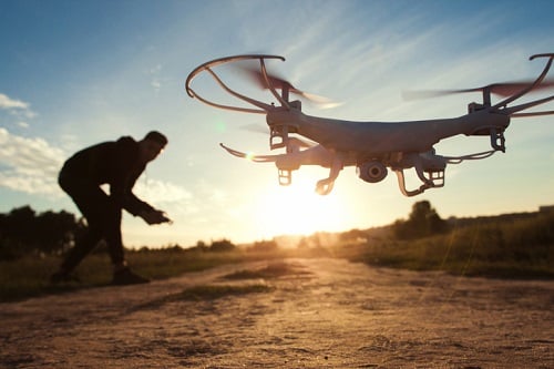

The Earthquake Commission (EQC) has announced plans to use drones to help aid research and reduce the risk of a landslide on slopes with at-risk land types.
Through the EQC’s Biennial Grants programme, University of Auckland researcher Dr. Martin Brook and his team have just been provided with funding to use fast and economical new technology to see how land is moving on 10 slopes in different parts of Auckland.
“We know we have areas like Avondale, parts of the North Shore, East Coast Bays, Orakei Basin and others places where the water builds up under the soil,” Brook said.
The idea is that the team will use drones to take very detailed photos of the slopes and put the data through software to produce 3D models of the ground. Gathered information will then be compared to the laser (Lidar) generated data that has been gathered in the past to see how much the ground has shifted.
“Because our system of getting the data is so much cheaper, we can also take readings four times a year and get a good sense of how fast the ground on a slope is moving,” Brook noted.
“And we can also cross check this by taking regular photos that compare the ground to a fixed point like a fence or lamp post.”
EQC general manager resilience Dr. Hugh Cowan, meanwhile, said research on landslides is very important for New Zealand, as in the case of EQC, which in most years gets more claims for landslide damage than any other natural hazard.
“Dr. Brook and his team will not only get valuable data for Auckland Council on the specific research sites, but they are developing a cost-effective way for any council to map the stability of slopes,” Cowan said. “This is particularly important where land may be opened up for residential development in future.”
EQC invests more than $16 million every year in research to reduce the impact of natural disasters on people and property.
Related stories:
After Cyclone Gita, drones take to the Tongan skies
EQC chair steps down
