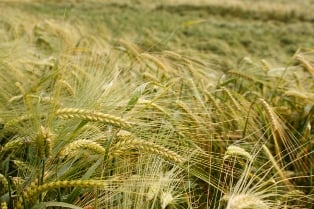
Satellite-supplied data monitoring over 15 million hectares of land used for rice farming helps protect farmers’ livelihood, allowing insured farmers to be quickly compensated in case of crop losses.
Rice is the world’s most widely cultivated food item and close to 90% of this crop is grown in Asia, making it a staple food for the populace and the main source of income for farmers in the region. However, frequent natural disasters, such as floods and droughts, can wipe out entire harvests.
The program, which is now operational, has synthetic aperture radar (SAR) satellites scanning 15 million hectares of rice farmland in several Southeast Asian countries, namely Cambodia, India, the Philippines, Thailand, and Vietnam. SAR technology documents the time of planting, the area under cultivation, rice plant growth patterns, and the anticipated yield.
SAR also allows early detection of droughts and floods, helping authorities to respond quickly and permits agricultural insurers to release claims quickly, as it removes the need for an insurance employee to inspect the farmland for damage. With decreased waiting time, farmers have quicker access to funds and greater financial security.
Related stories:
RMS releases new agricultural risk models for China and India
China introduces new rules on agri insurance subsidies
Legislator seeks mandatory insurance for rice farmers


